The Enugu State Government has declared a decisive end to land grabbing, fraudulent dealings, and illegal allocations with the introduction of a Digital Survey Management System—an innovation officials say will restore investor confidence and revolutionise land administration.
The declaration came on Tuesday at the Surveyors’ House, Enugu, during a one-day stakeholders’ workshop organised by the Office of the Surveyor General to sensitise surveyors, landowners, developers, and estate practitioners on the full transition from analogue to digital survey operations.
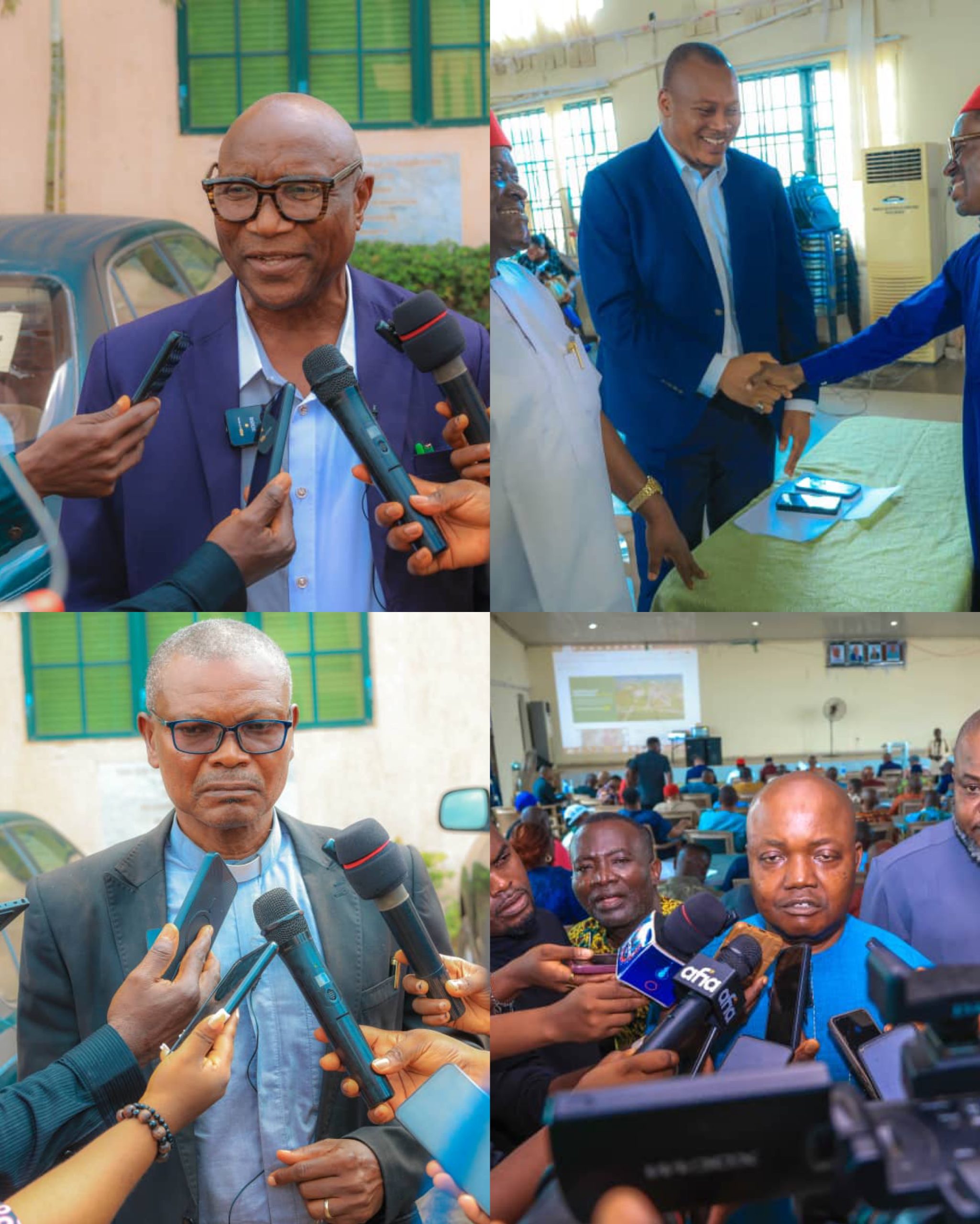
Speaking at the event, the Enugu State Surveyor General, Surv. Chime Justus, described the new system as a historic reform and one of Governor Peter Mbah’s boldest initiatives to promote transparency and strengthen land ownership rights across the state.
“This new system ensures that survey data, coordinates, and professional signatures are stored in a tamper-proof database,” he said. “It will prevent duplication of surveys, eliminate land disputes, and safeguard both surveyors and landowners. Once a survey is recorded in the system, it cannot be altered or manipulated without accountability.”
Surv. Chime noted that the platform enhances professional integrity, accelerates approvals, and ensures that survey works remain traceable to their rightful owners. He urged the public to take advantage of the reform by registering their properties with the Ministry of Lands and Urban Development, stressing that digital documentation now provides the strongest protection against fraud and encroachment.
Chairman of the Nigerian Institution of Surveyors (NIS), Enugu State chapter, Surv. Emmanuel Nnamani, hailed the development as a “revolutionary and sanitising masterstroke” in land governance. He said the system would eliminate the challenges of multiple allocations, overlapping surveys, and fake cadastral plans that plagued the old analogue system.
“It is a game changer,” Nnamani said. “Surveyors must embrace this change instead of fearing technology. It actually enhances our relevance, making land verification faster, more accurate, and more transparent.”
He also commended the state government’s investment in modern survey tools such as drones, total stations, and dual-frequency GPS systems, including the installation of Continuously Operating Reference Stations (CORS) across the state to strengthen data accuracy and precision.
In his remarks, the Commissioner for Lands and Urban Development, Barr. Chimaobi Okorie, said the digital survey management system aligns perfectly with Governor Mbah’s ambition to position Enugu as a prime destination for investors.
“Investors seek certainty,” Okorie said. “Past distortions in survey descriptions caused conflicts and overlaps. His Excellency therefore directed the deployment of a digital system that allows landowners to view their coordinates directly from their devices—ensuring accuracy, transparency, and predictability.”
Okorie emphasised that the reform is the outcome of strong collaboration between the Ministry of Lands, the Surveyor General’s Office, and the Nigerian Institution of Surveyors, describing it as a partnership that guarantees verifiable and reliable land records.
Participants at the workshop described the reform as a major turning point in land governance in Enugu State, applauding Governor Mbah’s administration for deploying technology to secure property ownership, strengthen the rule of law, and boost investor trust in land transactions.